One of the most common questions during long-distance-running preparation is: how to get the superlong track on your Garmin watch. If you upload a .gpx file through Garmin Connect to your watch it will display a „too many waypoints“ error and turn-by-turn navigation as well as display of the track will just be shortened and stopped at one point. Not exactly funny if you rely on it. One common solution is to cut the track in smaller pieces and start them one after the other. If there is no need for turn-by-turn advices during navigation and you just want a way to display the whole track including the waypoints properly on your watch you can also follow the these steps:
Eine der meistgestellten Fragen/Probleme bei der Langdistanz-Vorbereitung ist wie man den Track auf die Garmin-Uhr bekommt. Wird dabei eine .gpx Datei über Garmin Connect auf die Uhr gespielt kommt beim Start der Strecke der Hinweis, diese habe „zu viele Wegpunkte“ und die Navigation und der Track bricht irgendwann ab. Nicht besonders lustig wenn man auf die Navigation angewiesen ist. Eine gängige Umgehung dieses Problems ist das Zertückeln des Tracks in kleinere Häppchen die man nach und nach abläuft. Wenn aber keine Abbiegehinweise benötigt werden und einfach nur der gesamte Track inklusive Wegpunkte vernünftig auf der Uhr angezeigt werden soll funktioniert auch Folgendes:
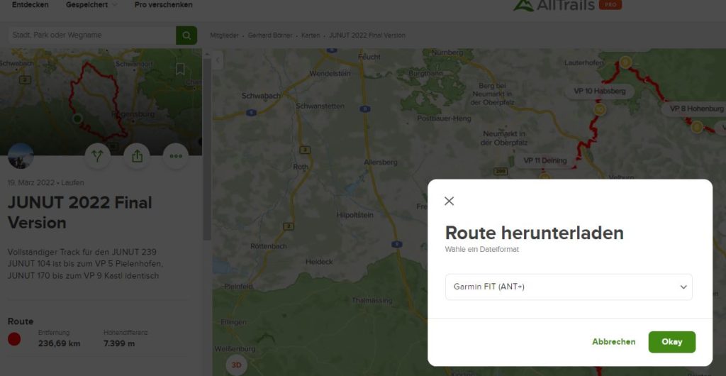
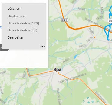
1. Download a .FIT file of your track incl. waypoints:
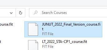
2. Upload it to the correct folder on your watch (Garmin\Courses – at least on a Fenix 6):


3. Select the track in your preferred activity.
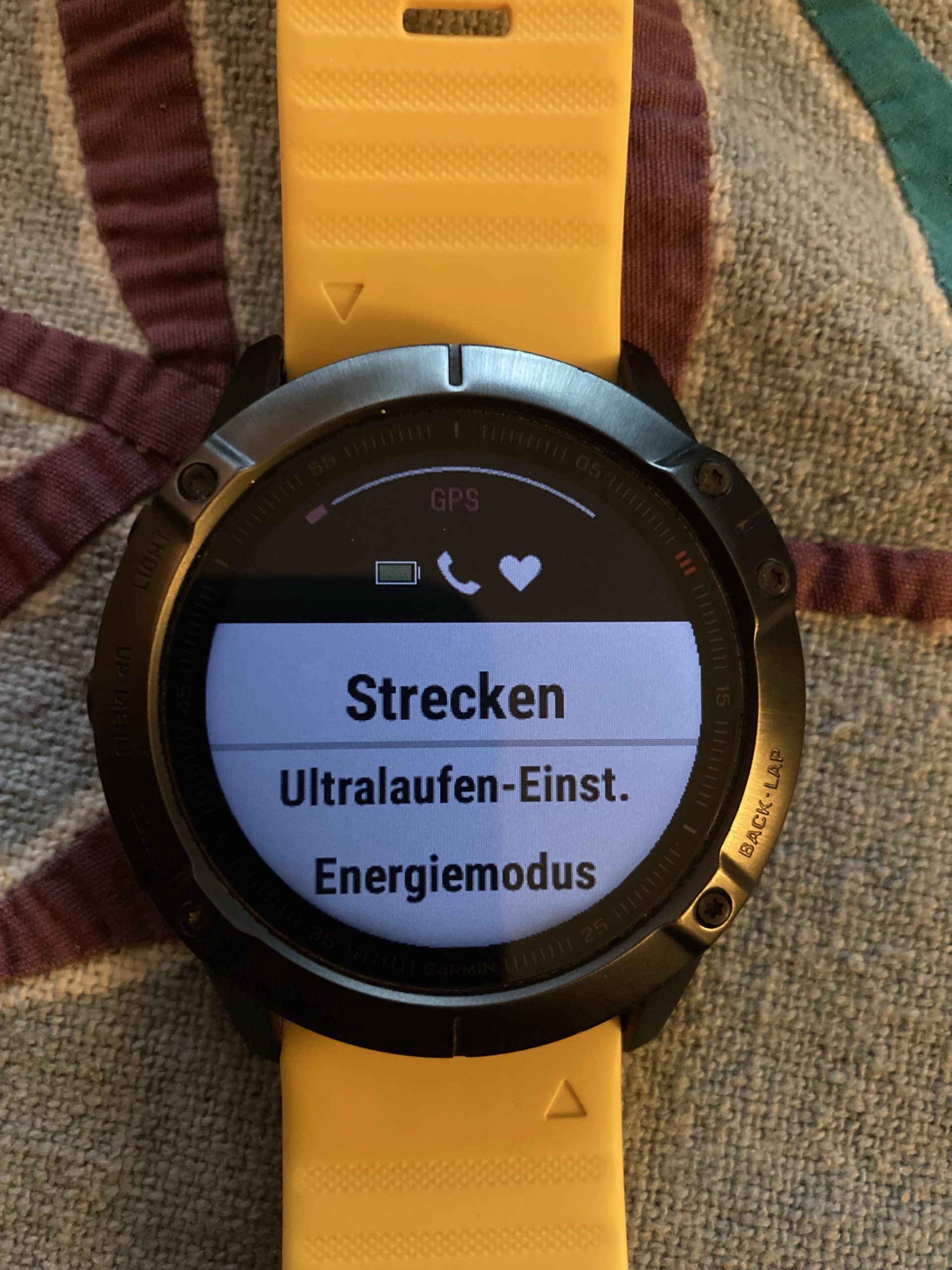

Works without problems on my Fenix 6. It does not give you turn-by-turn navigation but displays the whole track on the map no matter how long. It also feeds the distances to next waypoint (if any), distance to finish and ETA datafields if you like them.
Funktioniert problemlos auf meiner Fenix 6. Keine Abbiegehinweise (aber wer braucht die schon), aber der komplette Track auf der Karte – egal wie lang. Auch die Datenfelder Distanz zum nächste Wegpunkt (falls der Track welche hat), Distanz zum Ziel und ETA funktionieren – falls von Interesse.
